Andhra Pradesh literally means ‘South Province’ in Sanskrit.
Situated on the country’s south-eastern coast, Andhra Pradesh is the eighth largest state in India and South India’s largest state covering an area of 160,205 km2 (61,855 sq mi). From the unspoilt beaches of Visakhapatnam along the Coromandel Coast, to the emerald green paddy fields of Nellore district, much of Andhra Pradesh is occupied by the rocky Deccan Plateau which rises 1,000 m (3,281 ft) above the fertile coastal plains. The watersheds of Andhra Pradesh’s rivers, the Krishna and Godaveri, are second only to the Ganga and are vital in supporting the meagre agricultural subsistence of the bullock-and-cart paddy economy. Andhra Pradesh is the largest producer of rice and hence, nicknamed as the ‘Rice Bowl of India’.
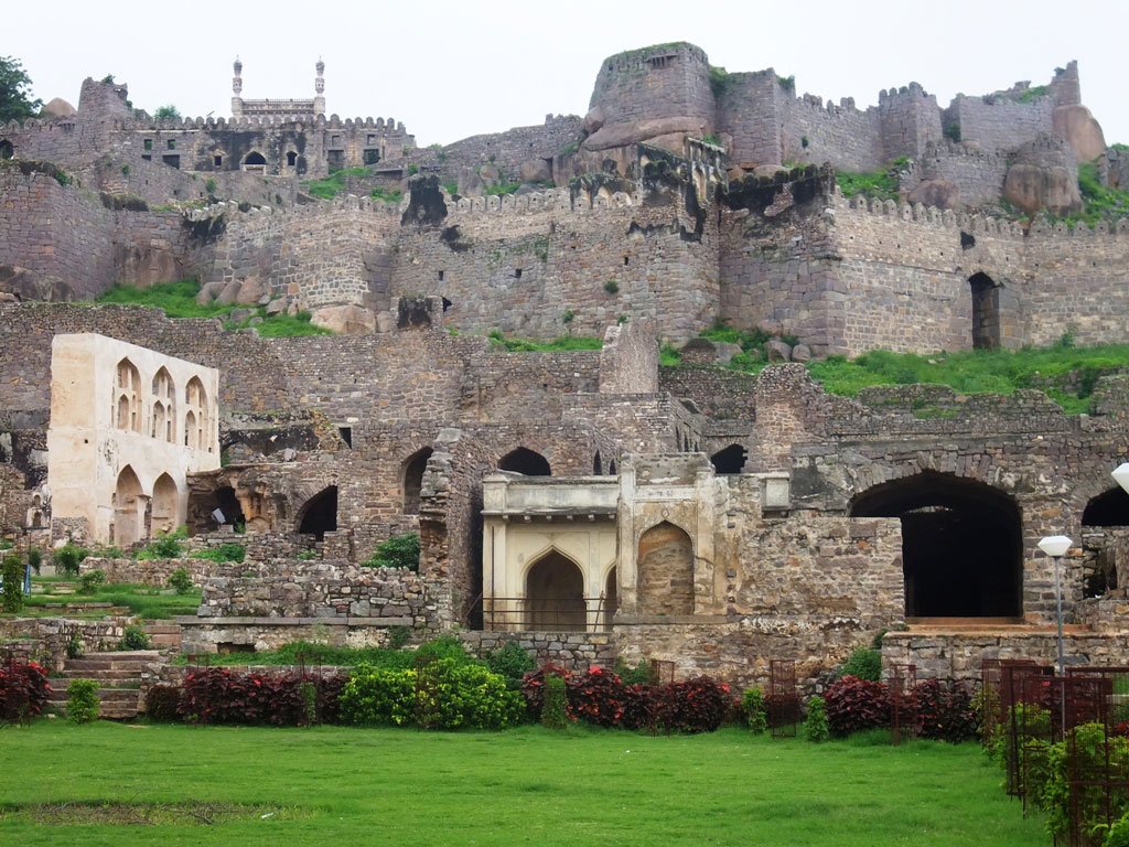
The main language spoken by its 76 million people is Telugu, though Urdu is also spoken in the state capital, Hyderabad. Andhra Pradesh tourism is centred on Hyderabad with a meagre few tourists venturing outside the state capital.
Click on one of the sections on the right for more information about Andhra Pradesh or choose one of the cities in the map below.
Leave A Comment